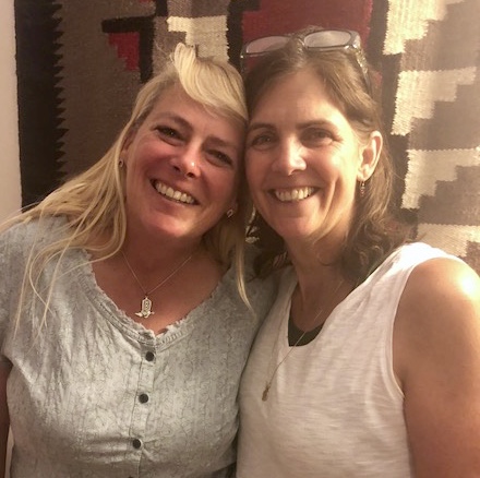
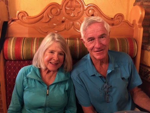
By Jim.
Bryce Canyon is the smallest of the Utah national parks. That ended up being lucky for us.
Originally, we planned to spend all day Thursday in the park. Then plans changed. Twice. Which brings us to the tease embedded in recent Santa Fe-related posts.
Many of you have heard us talking up Santa Fe in recent months. We’ve been researching the area and liking everything we’ve read. So when we arrived there a couple of weeks ago, we had it in mind that this might be where we end up living after our year-long adventure. We liked everything we saw while we were there. And then we found a house that we not only liked everything about, we believed it was a unique place that we weren’t likely to duplicate when we started looking in earnest next year. So one thing led to another, we signed a contract to buy it and scheduled the building inspection on the Thursday we were supposed to be in Bryce Canyon.
We expected the inspection to be over by lunchtime, leaving us a half-day in Bryce. But we got a call from the inspector as he was finishing up, reporting that he’d found an issue. A big one. We spent all afternoon on the phone and researching the problem. The more we learned, the less we liked. By the end of the day, we still hadn’t made it to Bryce and we’d pretty much decided to blow up our house deal. Without going into gory details, a helpful hint to our loyal readers is if you’re buying a house in the Southwest (including Southern California), beware of a plumbing product called Kitec, unless you’re a class-action lawyer looking to jump onto a big pile of litigation.
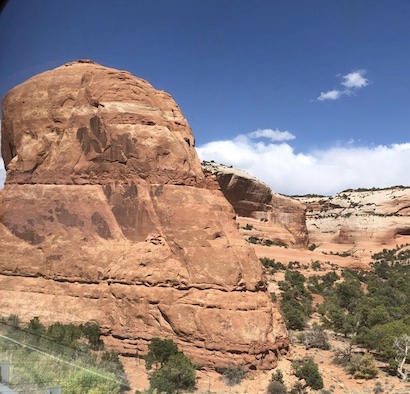
We settled for an hour-long hike around the edge of Bryce Canyon with the dogs Friday morning…


…then hit the road for our next stop, the famed Zion National Park in southwest Utah. We soon discovered that the hype about Zion is justified.
When we got to the park Saturday morning, we were greeted by the announcement, “Welcome to Zion National Park, on our busiest weekend of the year.” Saturday was like rush-hour traffic in Seattle. Sunday was like being at the Super Bowl.
And you know what? That’s good! All the national parks we’ve been to so far have been crowded. It’s the best evidence we have that people regard these special places as national treasures, to be savored, enjoyed and protected.
Saturday, we took a short bus tour of the entire Zion Canyon, then did a relatively easy hike on the Kayenta Trail and to the Emerald Pools. Once again, I had the cutest hiking partner in the whole place.


The main part of Zion is like Yosemite Valley. Thousands-feet-tall cliffs flank the valley. We gawked at the peaks… …and even saw some mountain climbers on the cliffs.
 That white sail-shaped thing below the climbers is where, we were told, they slept the previous night – remember that the next time someone tells you that YOU have a crazy hobby.
Sunday, we did a half-day in the park and a half-day of chores. There’s one dog-friendly hike in Zion, Pa’rus Trail. It was a nice walk along the Virgin River, plus we checked out campsites for future visits (of which there will be several)… …and laughed at the Disneyland-like lines just to get on the shuttle buses (which we avoided because Pa’rus Trail is so close to the park entrance).
Then we drove (the Jeep, not the Iz) through the Zion-Mount Carmel Tunnel just outside the park, which is all of 13 feet tall in the center and only 11 feet 4 inches tall on its sides. 
The tunnel roadway is dark, cramped and leads to more spectacular scenery.

Monday morning, we got up early in anticipation of a Memorial Day mob at Zion, dropped the pups at doggie day care and headed to the park. The first good news was that the crowds were gone. The better news was our hike. The previous sentence is an understatement.
The most famous hike in Zion is Angel’s Landing – 5.4 miles, 1,488 feet of elevation, a couple of near-death experiences at the top and a spot on the National Register of Historic Places. Our ace researcher, Ginny, came up with an even grander plan – Echo Canyon to Observation Point via the East Rim Trail – 9 miles and 2,788 feet of elevation (and its own place on the National Register). No “steep, narrow ridge to the summit”, but a trailside warning to be respected…
Okay, now that you’re impressed with our fortitude, let us dazzle you with our pictures.
We started walking up…and up… 

 Soon enough, we were above Angel’s Landing, the top of which is about halfway up in the foreground of this pic, protruding from the cliff at the hairpin turn in the Virgin River.
 The trail wound through a variety of colors and terrain…

 …and when we reached the summit, we could look down all the way to the other end of the park and the town of Springdale beyond it. Pure exhilaration!
 On our way back down, we could see some of the switchbacks we’d taken on the lower part of the trail on our way up.
  And here’s one more from Observation Point. We’ve never experienced anything like it.
Tuesday, we say goodbye to these spectacular Utah national parks we’ve been exploring and head to Park City/Salt Lake City, where good friends await.


 and a hike in their neighborhood that gave us views of the general scenery of Park City and the Heber Valley…
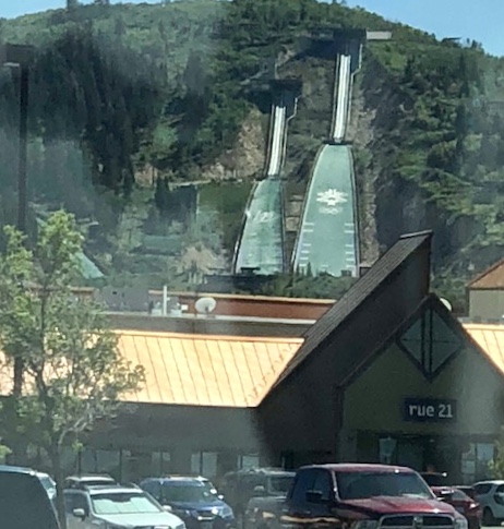
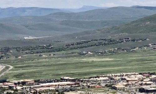 …plus a view of the bobsled run from the 2002 Winter Olympics.
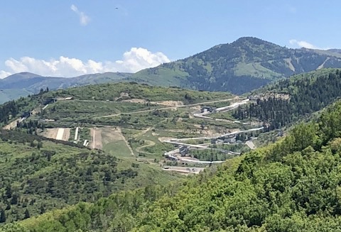
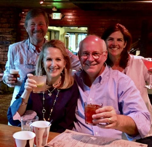 Cheers!


 First, we drove out to the Landscape and Double-O arches. After a long drive, it was a short hike to the arches. Landscape Arch is the longest natural arch on the planet, three feet longer than Kolob Arch in Zion National Park (which we hope to see this weekend).

 …but rounding the final corner of the climb and seeing this magnificent sight was one of the highlights of our trip.


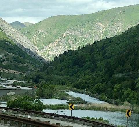
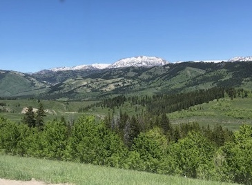
 …there was some residual snow in the mountains…

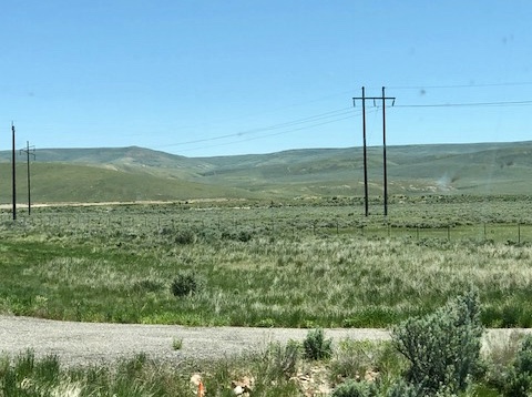
 Cell service was out of the question, and we weren’t even sure the occasional house that we passed had a landline, but we weren’t alone.